- »
Pratorotondo is the heart of the Beigua Geopark and from there you can enjoy spectacular panoramic views of the Gulf of Liguria on clear days. This point is an important crossroads on the Park’s hiking network. From here you can set out on a simple walk along the Alta Via dei Monti Liguri, or you can see the small rock garden in front of the “Bruno Bacoccoli” Information Point.
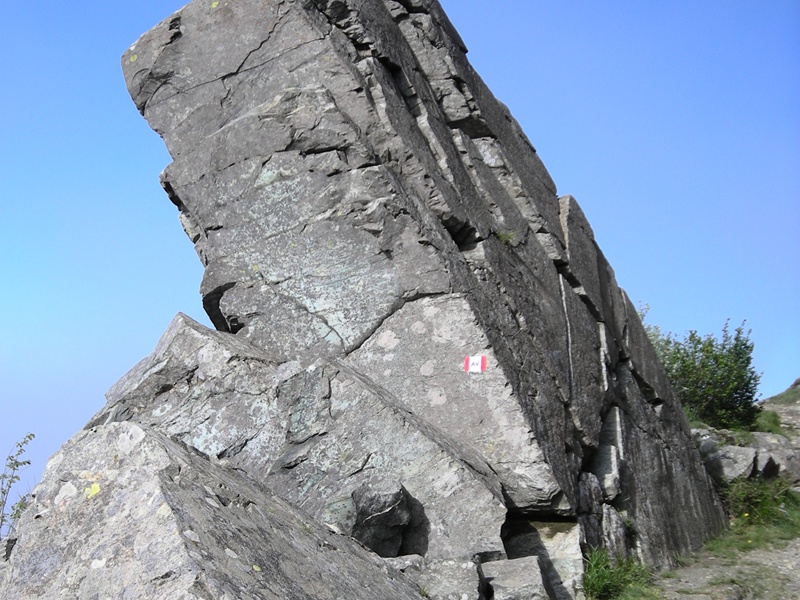
Walking approximately 300 metres in a southerly direction along the path marked with the red square, you reach a panoramic viewing point facing onto the Ligurian Sea and the southern slope of Monte Rama. From this point you can see the stretch of the watershed between the Po valley slope and the Tyrrhenian side, which is closer to the coastal line compared to the entire Ligurian arch. From the same point you can enjoy a panorama which even stretches as far as the Apuan Alps. The Tyrrhenian slope in front of us is characterised by the steepest inclines: Monte Rama stands out to the east, with Sciguello to the west. You can clearly see various debris avalanches, a natural evolution of such sheer slopes, subject to the effects of the regressive erosion of the Ligurian torrents. The force of gravity, together with the water and the type of fractures of the rock, are the main causes of blocks detaching from the slope which are called debris avalanches.
By looking carefully you can see the morphological differences which show the various sectors of these ridges of the Beigua mountains. The summit (ridge) is almost level with the main peaks (Monte Rama and Monte Sciguello) which are located south of the divide. The southern slope drops down to the sea much more abruptly and is deeply marked by short waterways. The ground is very shallow (there are many areas of naked rock) and there is very little wooded vegetation. This structure is typically the result of recent tectonics: direct faults (tension faults) due to the opening of the Tyrrhenian Sea, with the related terracing (see the introduction). You can also see the broad “tectonic valley” called “graben” stretching out in an east-west direction, where the town of Arenzano is located. An alternative path that is just as panoramic is the first section of the Nature Trail which starts from the Pratorotondo shelter and, following a stretch of the Alta Via dei Monti Liguri in an easterly direction, leads to the Casa Miniera. This path of approximately one thousand metres is also suitable for people with motor disabilities thanks to a stable ground which is more or less flat.